Our Services
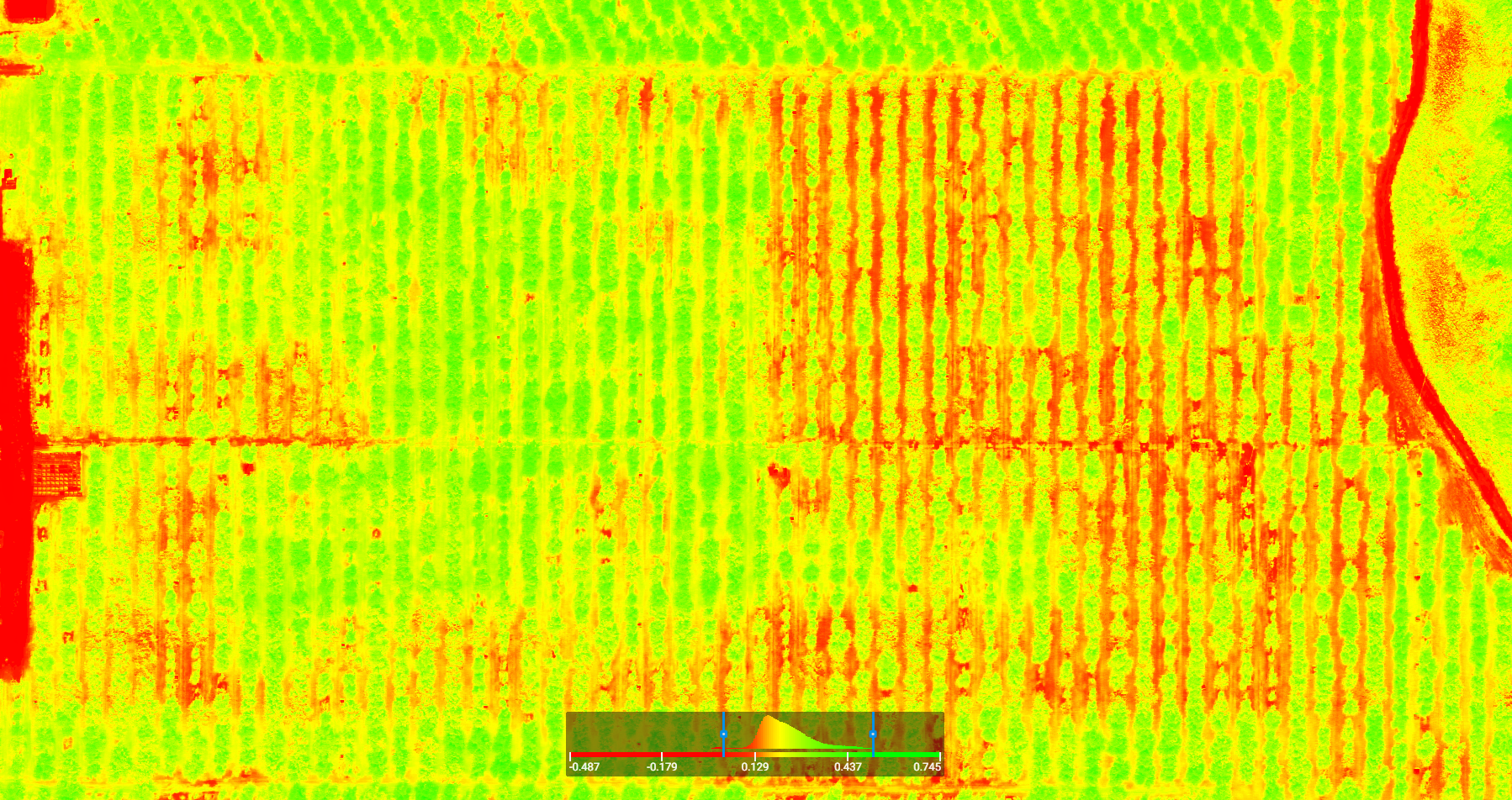
Visible, multispectral, and thermal maps of farmland with trouble spots identified
Detailed client reports of past and current crop status with proposed treatment plans
Access to survey data through an online client profile with scheduling, and payment service
Demos for first time clients
Our Mapping Team
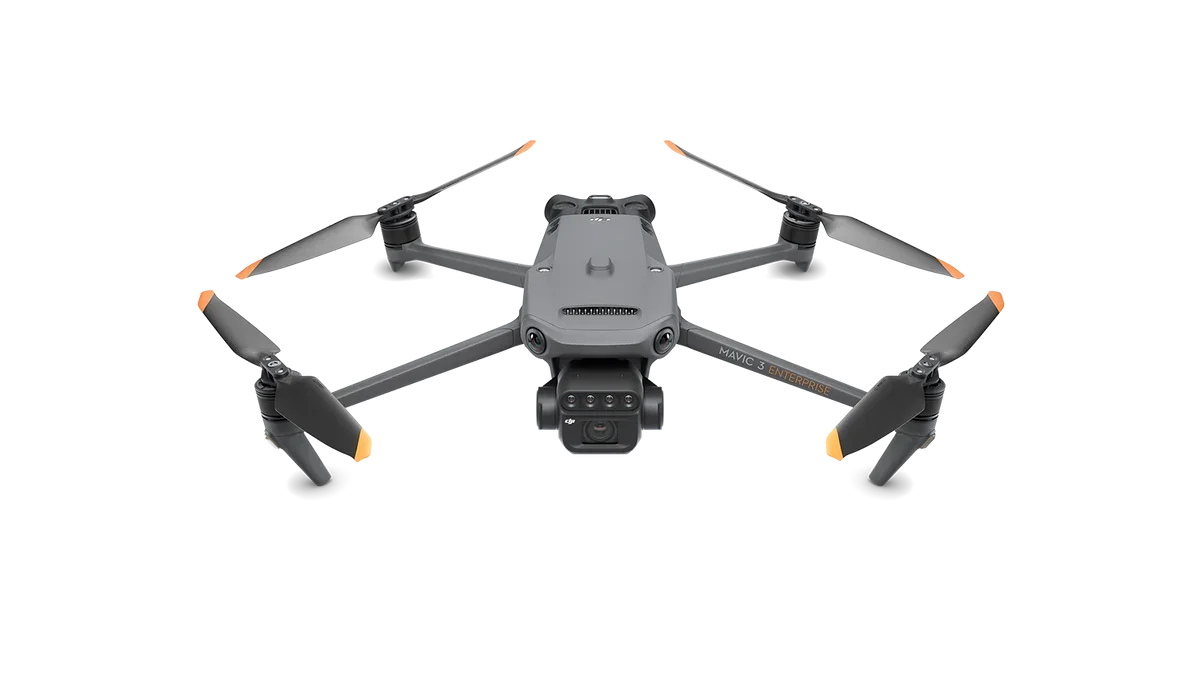
IRIS, Goddess of the Rainbow
(Mavic 3 Multispectral)
20MP RGB camera
Four 5MP multispectral cameras (green, red, red edge, and near infrared)
Sunlight Compensation Sensor
GSD as low as 0.8cm per pixel
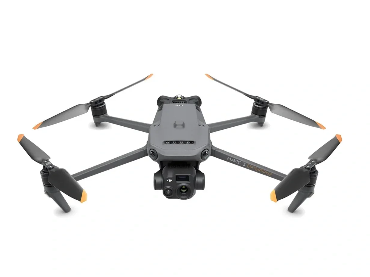
HEPHAESTUS, God of Fire
(Mavic 3 Thermal)
RGB Wide: Equivalent Focal Length: 24mm, 48MP
RGB Zoom: Equivalent Focal Length: 162mm, 12MP, 56x Hybrid Zoom
Thermal: DFOV: 61°, Equivalent Focal Length: 40mm, Resolution 640 x 512
GSD as low as 0.8cm per pixel
Our Workflow
Survey Definition: Schedule a Flight
Data Capture: Fly the Drone
Data Processing: Receive actionable data instantly
Services
Filters
No results found
No results match your search. Try removing a few filters.
Contact us
Interested in working together? Fill out some info and we will be in touch shortly. We can’t wait to hear from you!
Please also fill out our short customer survey so we can best address your needs.